Great Lakes Bathymetry
$48.00
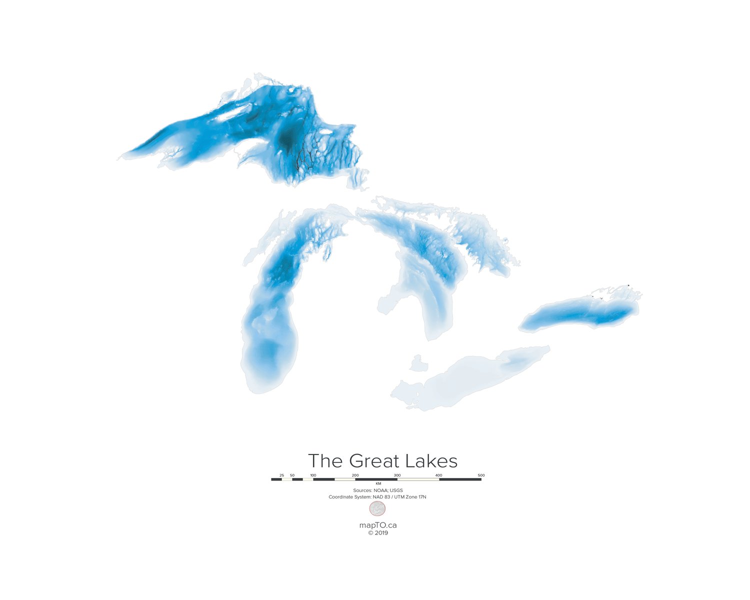
Using data provided by Great Lakes Environmental Research Laboratory, we created a map that shows the submarine topology of the Great Lakes. Darker colours represent deeper parts of the water bodies. The map clearly highlights the size and depth of Lake Superior compared to the other lakes. You'll also notice Lake Ontario is quite deep for its size, especially compared to Erie.
Available in two sizes:
32" x 24"
20" x 16"
Matte finish with a textured surface
Paper weight of 300gsm
Bright white, OBA-free
Perfect for framing