Ontario Elevation Map
$48.00
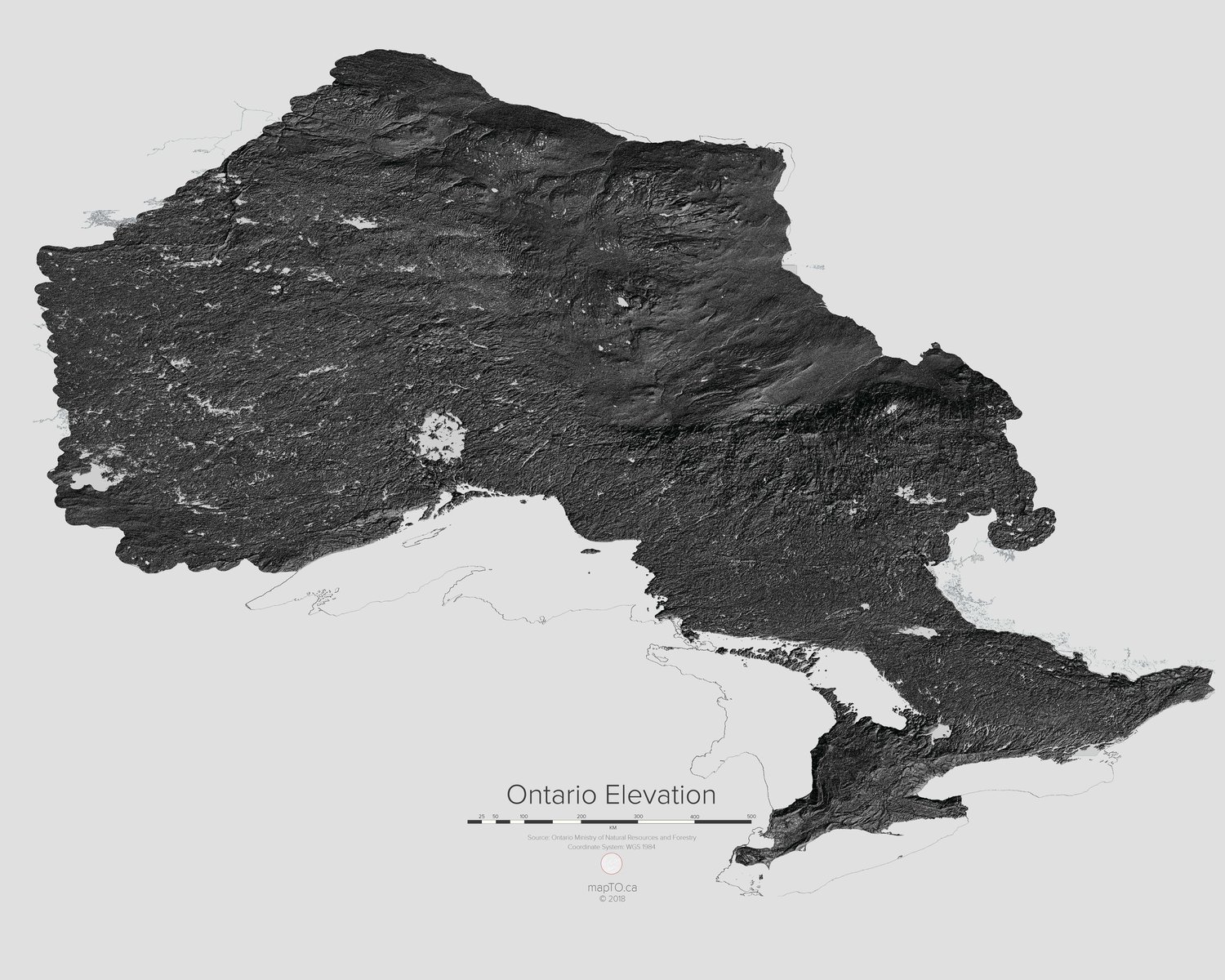
This is a map of elevation across the Province of Ontario. It is based on a provincially created digital elevation model visualized at slightly exaggerated scale.
Available in three sizes:
30" x 20"
20" x 16"
14" x 11"
Matte finish, textured surface with no glare
Paper weight of 300gsm
Hand cut edges
Perfect for framing
Resistant to scratches and fingerprints